Go back to Forum 2024 homepage
I-GUIDE Forum 2024
Convergence Science and Geospatial AI for Environmental Sustainability
October 14-16, 2024
Jackson, Wyoming, USA
GeoSpatial Artificial Intelligence: Advances and Challenges
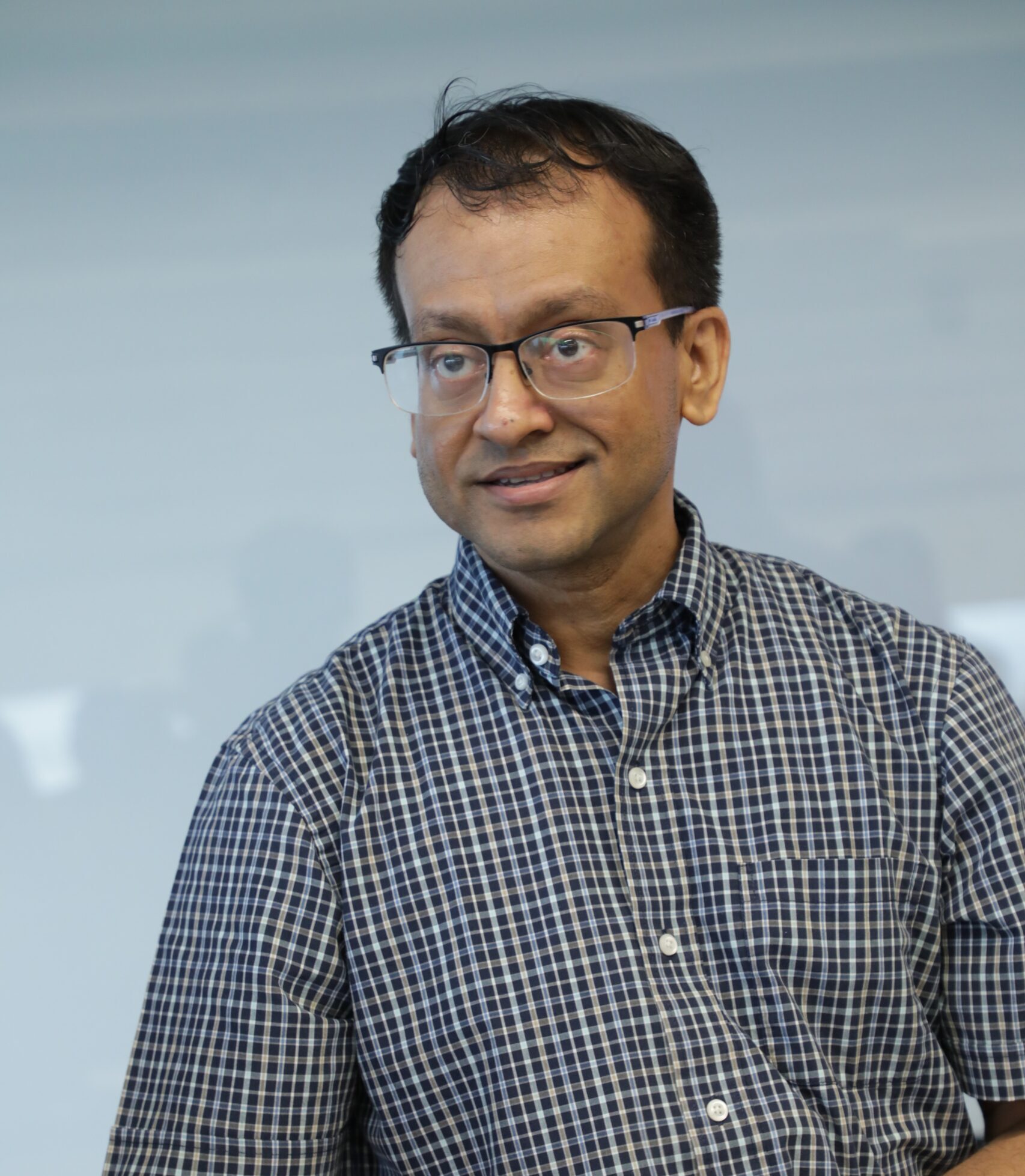
Arindam Banerjee, University of Illinois Urbana-Champaign
Vast amounts of spatially indexed data are being routinely collected for a variety of scientific and societal problems, ranging from climate science and ecology to agriculture. With the tremendous advances in Artificial Intelligence (AI) over the past decade, the hope is that a suitable combination of geospatial data and AI methods will lead to unprecedented advances in such key scientific and societal problems. In this talk, I will discuss some advances we have made over the past decade and some ongoing work in combining AI methods and geospatial data for problems in climate, ecology, and agriculture. I will also discuss some key goals and challenges towards effectively realizing the promise of the emerging field of Geospatial AI. Finally, I will briefly discuss the ongoing TorchGeo project, which is combining the power of modern AI with geospatial data.
Bio: Arindam Banerjee is a Founder Professor at the Siebel School of Computing and Data Science, University of Illinois Urbana-Champaign. His research interests are in machine learning. His current research focuses on computational and statistical aspects of over-parameterized models including deep learning, spatial and temporal data analysis, generative models, and sequential decision making problems. His work also focuses on applications of machine learning in complex real-world and scientific domains including problems in climate science and ecology. He has won several awards, including the NSF CAREER award (2010), the IBM Faculty Award (2013), and seven best paper awards in top-tier venues.
From pattern diagnostics to Machine Learning in probabilistic estimation of precipitation from multi-satellite observations with emphasis on extremes and uncertainty quantification
Efi Foufoula-Georgiou, University of California, Irvine
Precipitation is the input to the hydrologic cycle and affects the water and energy balance at the local, regional and global scales. Precipitation extremes create hazards and endanger life, property and critical infrastructure. Under global warming, precipitation is expected to change in complex ways, including the mean annual precipitation, the duration of wet and dry spells, the seasonality, and the frequency and magnitude of extremes. In this talk, I will present recent results on two main aspects of precipitation: (1) global precipitation estimation from multi-satellite observations, and (2) assessment of the change of the space-time structure of storms under global warming. In global precipitation estimation from multi-satellite observations, a severely underdetermined inverse problem, I will discuss our path from physically-informed pattern diagnostics to a new Generative Diffusion model conditional on infrared dynamics and instantaneous passive microwave observations and show an impressive performance in capturing extremes and providing uncertainty quantification. In assessing precipitation changes relevant to hazards, analysis of cloud resolving models in historical and future simulations show that global warming will induce a “sharpening” of storms both in time and space, meaning that a larger proportion of rain will fall over fewer wet hours and over smaller areas, amplifying hazard potential for flooding and post-fire debris flows.
Bio: Efi Foufoula-Georgiou is a Distinguished Professor at the University of California, Irvine, holding the Henry Samueli Endowed Chair in Engineering, with appointments in both the Departments of Civil and Environmental Engineering and Earth System Science. She has an extensive academic and research background, having previously served as a McKnight Distinguished Professor at the University of Minnesota, where she directed the NSF Science and Technology Center for Earth-surface Dynamics (NCED) and the St. Anthony Falls Laboratory. Her research focuses on hydrology, geomorphology, and scaling theories, particularly in relation to precipitation and landforms. Professor Foufoula-Georgiou has made significant contributions to her field, serving on numerous advisory boards, including the Water Science and Technology Board of NAS and the NSF Geosciences Advisory Council. Among her many honors are the John Dalton Medal from the European Geophysical Society and the Hydrologic Sciences Medal from AMS. She is a fellow of multiple prestigious organizations and was appointed by President Barack Obama to the Nuclear Waste Technical Review Board.
Current Federal AI Policies and Practices
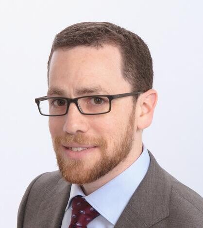
Mike Tischler, National Geospatial Program, U.S. Geological Survey (USGS)
Bio: Dr. Michael Tischler is the Director of the National Geospatial Program (NGP) at the U.S. Geological Survey (USGS). The NGP provides the digital geospatial foundation for the United States, and is responsible for designing, planning, and executing the national topographic mapping program. Dr. Tischler provides management oversight and direction to the NGP including The National Map, the 3D National Topography Model, the 3D Elevation Program, the 3D Hydrography Program, the US Topo Map Series and topoBuilder, research activities performed at the Center of Excellence for Geospatial Information Science (CEGIS), and geospatial data and information in response to natural disasters. Dr. Tischler holds a B.S. in Soil Science from North Dakota State University, a M.S. in Soil and Water Science from the University of Florida, and a Ph.D in Earth Systems and and Geoinformation Science from George Mason University.
The State of I-GUIDE
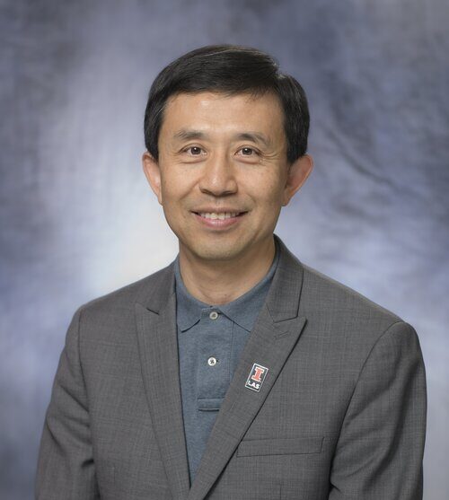
Shaowen Wang, University of Illinois Urbana-Champaign
The Institute for Geospatial Understanding through an Integrative Discovery Environment (I-GUIDE) is supported by the National Science Foundation with the vision to enable digital discovery and innovation through harnessing the geospatial data revolution and the mission to advance convergence and geospatial sciences for holistic sustainability solutions. This presentation will discuss the significant progress I-GUIDE has recently made while highlighting the I-GUIDE Platform for empowering data-intensive convergence research and education, convergence curriculum for geospatial data science, geospatial hypercube for driving intelligent knowledge discovery, Spatial AI Challenge for sustainability solutions, and scientific visualization for depicting the problem of aging dams infrastructure.
Bio: Shaowen Wang is a professor of geography and geographic information science (primary), computing and data science, and urban and regional planning at the University of Illinois Urbana-Champaign (UIUC). He serves as Associate Dean for Life and Physical Sciences of the College of Liberal Arts and Sciences and is a Senior Faculty Fellow with the Office of the Vice Chancellor for Research and Innovation at UIUC. He leads UIUC’s CyberGIS Center for Advanced Digital & Spatial Studies and the national Institute for Geospatial Understanding through an Integrative Discovery Environment (I-GUIDE) supported by the National Science Foundation. His research focuses on advancing cyberGIS and geospatial data science for scalable solutions to complex geospatial problems and sustainability challenges. He served as President of the University Consortium for Geographic Information Science (UCGIS) from 2016 to 2017, and as a member of the Board on Earth Sciences and Resources of the National Academies of Sciences, Engineering, and Medicine from 2015 to 2020. He is a Fellow of the American Association for the Advancement of Science (AAAS), the American Association of Geographers (AAG), and UCGIS.


