|
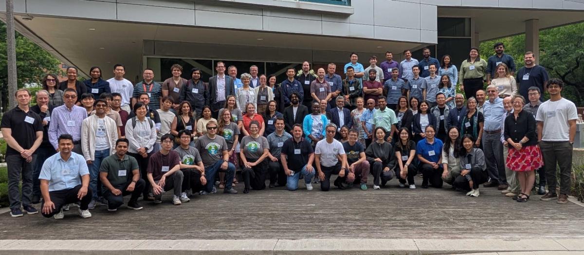
In early August, I-GUIDE held its 2026 Forum, AI & Science: From Geospatial to Convergence, at the University of Illinois Chicago in conjunction with the annual Ecosystem Conference for the five NSF Harnessing the Data Revolution (HDR) Institutes. The gathering brought together over 100 multidisciplinary researchers interested in shaping the future of AI and data-intensive sciences, and provided an expanded platform for collaboration and networking across the HDR ecosystem. Click below to read more about the workshops, the presentations and panels, and the important discussions about future directions of the HDR Institutes and their AI activities.
|
|
|
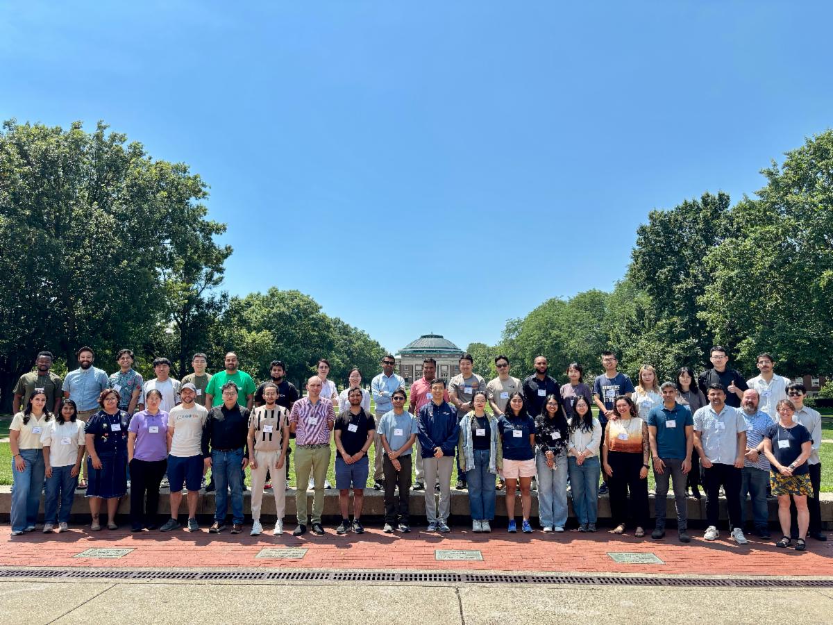
From July 13-17, 2026, I-GUIDE hosted its annual immersive Summer School session in which participants integrate spatial AI into problem-solving workflows. The program took place on the campus of University of Illinois Urbana-Champaign this year, and the six research teams considered challenges of computer vision, model biases, and novel data combinations in urban and rural areas, wetlands, and fire-prone regions. I-GUIDE's Cyberinfrastructure group was well prepared for the heavy usage of the Platform and enabled access to computing resources for this high-energy week. Details about the six research projects are available. The materials they produced (Jupyter Notebooks, code, and data sets) are available on the I-GUIDE Platform, and Teams have also shared their workflows and results as Virtual Consulting Office (VCO) sessions.
|
|
|
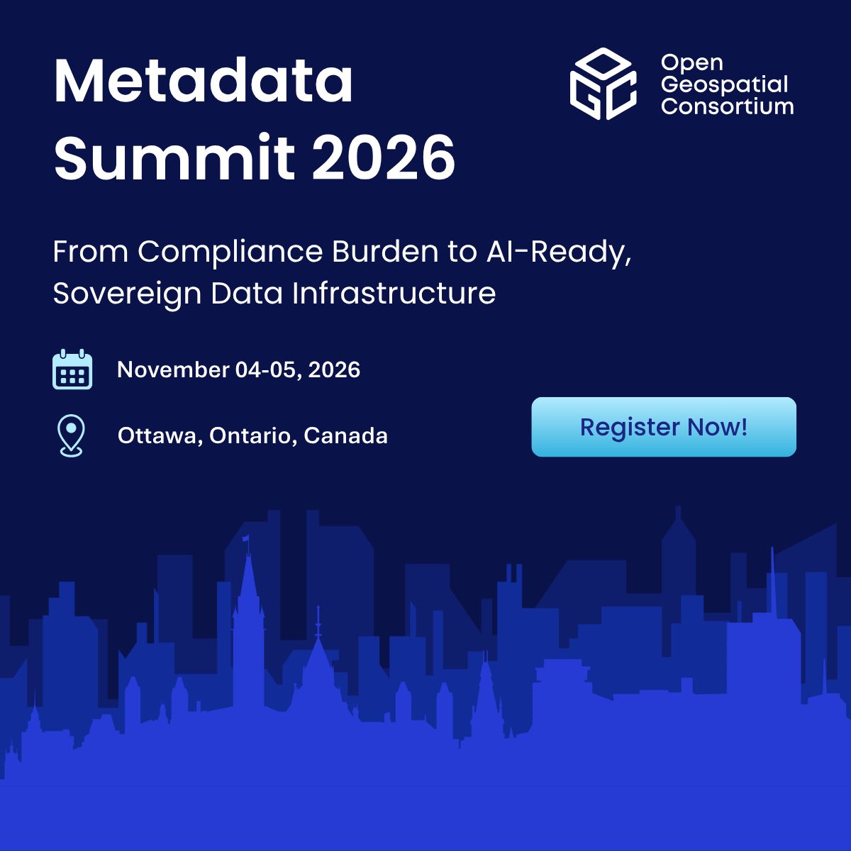
Metadata is a key component of modern digital infrastructure, helping make data discoverable, understandable, trustworthy, reusable, and FAIR. OGC's Metadata Summit 2026 that takes place November 4-5, 2026 in Ottawa, Canada, will focus on practical implementation: how we can develop metadata ecosystems that are simpler to implement, easier to govern, and capable of supporting the next generation of data-driven applications. The discussion will explore how metadata can support evolving regulatory requirements, strengthen digital sovereignty, enable interoperability, and help prepare data infrastructure for AI. Register for the Metadata Summit today.
|
|
Stay Informed with the I-GUIDE Insider
An easy way to stay in touch with the NSF I-GUIDE Project
|
|
|
The I-GUIDE Insider is a weekly digest of upcoming events and opportunities from the I-GUIDE project as well as recent publications and news. Sign up for the Insider to stay up to date with the I-GUIDE project!
|
|
|
Our I-GUIDE Ascender this quarter is Michael Englert who just completed his Master's degree in the Department of Environment & Society at Utah State University. Michael's contributions to the work on downstream vulnerabilities of aging dams has been central to I-GUIDE's research portfolio. Will Michael continue working in this field? Read the full profile of Michael Englert here!
|
|
|
|
I-GUIDE's virtual consulting office (VCO) showcases innovative research and education. These are opportunities to share and get feedback on your geospatial data science activities. If you have a suitable research topic you would like to share as a VCO with a broad geospatial community, tell us about it!
|
|
I-GUIDE VCO
Wednesday, September 30 · 11:00am CT · Virtual
Presenters
Members of Team 6 from Summer School 2026
Publicly available wildfire data streams (e.g., satellite active fire detections) provide abundant point observations but are noisy and difficult to translate into actionable plans. During I-GUIDE's Summer School 2026, this team developed an AI-agent-centered planning system that uses an LLM as a “geospatial planner” to transform natural-language planning goals into auditable, executable spatial workflows and optimized mitigation districts. The wildfire case serves as a concrete, high-impact use case because active fire detections are naturally point-based and suitable for generating contiguous “planning districts” for staged resources and prevention investments.
|
I-GUIDE VCO
Wednesday, October 7 · 11:00am CT · Virtual
Presenter
Anand Padmanabhan, University of Illinois Urbana-Champaign
The I-GUIDE Platform offers an open, collaborative environment for geospatial data-intensive research and education, supported by advanced cyberGIS and cyberinfrastructure. This session is run as an open office hour rather than a formal presentation. We will begin with a brief orientation and a short hands-on walkthrough: creating an account and logging in, searching for and exploring knowledge elements such as datasets, notebooks, models, and educational resources, and launching a notebook on the Platform's JupyterHub to run an analysis. The remainder of the time is reserved for attendees' questions, and we will shape the session around the interests in the room — whether that means contributing your own knowledge elements, accessing high-performance computing minting DOIs for your work, or troubleshooting a specific workflow. Newcomers and returning users are both welcome; no prior experience with the Platform is required.
|
I-GUIDE VCO
Wednesday, October 14 · 11:00am CT · Virtual
Presenters
Members of Team 3 from Summer School 2026
Urban residents spend roughly 80% of their time indoors, yet traditional environmental assessments, such as satellite NDVI, measure greenness from a top-down perspective. This fails to capture the human-centric, window-level visual experience of urban greenery, which is crucial for mental well-being and mitigating environmental stressors like extreme heat. By leveraging Google Photorealistic 3D Tiles and semantic segmentation (DeepLabv3+), we can now quantify 3D window-level green visibility, revealing that vertical building position significantly shapes visual exposure to nature. This project scales this framework into a comparative urban digital twin to address the equity implications of indoor-out green views. During the Summer School 2026, our Team addressed two primary questions: (1) How does 3D window-level green visibility intersect with socioeconomic vulnerabilities across diverse urban morphologies? (2) How does this vertical access to greenery correlate with exposure to localized environmental hazards, specifically extreme urban heat? We used I-GUIDE's Platform’s HPC to run and parallelize the spatial AI pipeline on a targeted neighborhood sample, leveraged a pre-computed dataset of multiple cities to run geospatial equity models, and synthesized these outputs, translating the statistical spatial models into actionable policy insights for designing climate-resilient cities.
|
|
|
Recent research and publications
from the NSF I-GUIDE Project Team
|
|
|
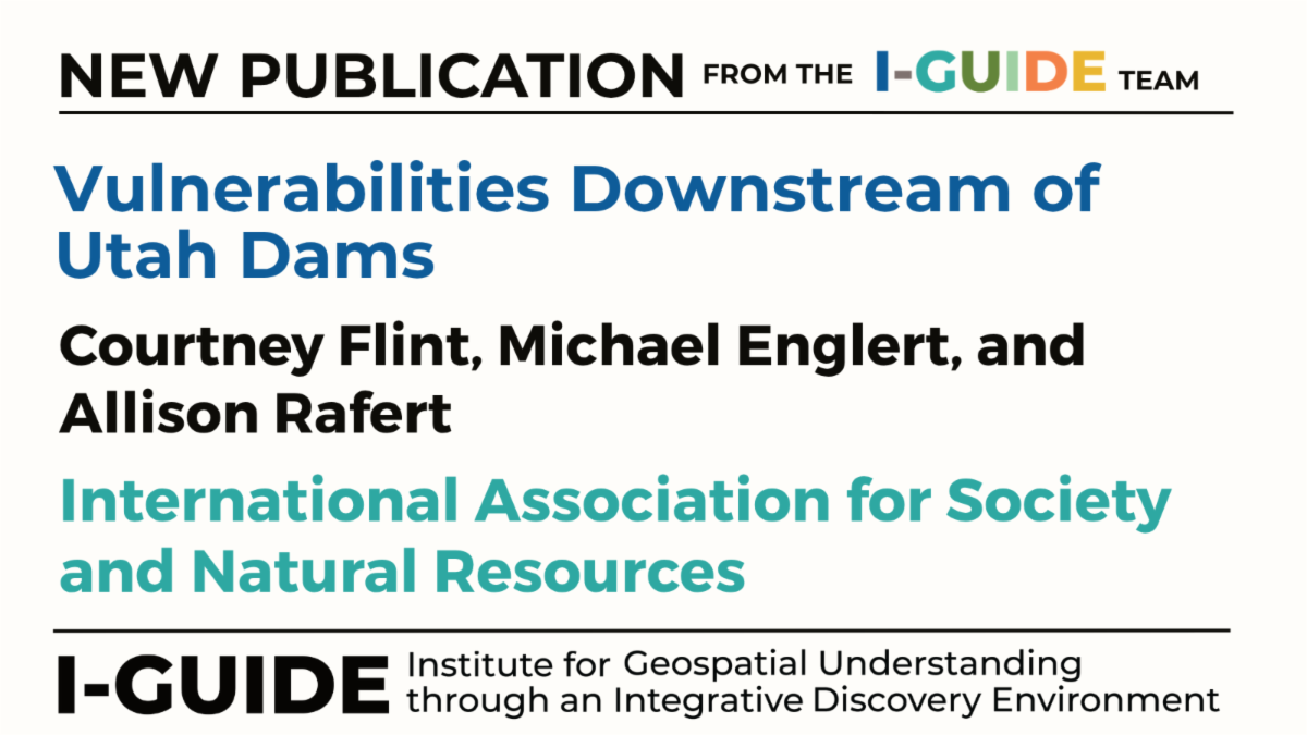
There are 234 state-regulated, high-risk dams in Utah. We created a geospatial, matrix-based visualization tool to highlight vulnerable entities downstream of these dams, along with their attributes. These vulnerabilities span the social, ecological, technological system (SETS) associated with dams, and include populations, protected areas, and critical infrastructure in potential inundation zones. Using the matrix visualization tool to identify vulnerable entities, we sampled illustrative dam contexts and conducted interviews with dam managers and representatives from vulnerable entities. These interviews assess levels of awareness of what’s in dam inundation zones, risk perceptions regarding the likelihood of dam failure, and levels of interaction among dam management and vulnerable entities ranging from no interaction, to communication, to coordination, to collaboration. Findings from an assessment of Emergency Action Plans are also shared, revealing outdated documentation and limited inclusion of relevant interests beyond formal emergency management personnel. Implications of these findings for dam safety management in an era of aging infrastructure, uncertain precipitation trends, and rapidly growing populations and urban development in inundation zones are discussed. To learn more, see Englert (2026).
|
|
|
|
|