Community Champions Home 2025-2026 Cohort 2024-2025 Cohort 2023-2024 Cohort 2022-2023 Cohort 2021-2022 Cohort
UCGIS I-GUIDE 2024-2025 Community Champions Cohort
UCGIS I-GUIDE Community Champions expand the community reach of I-GUIDE. This year, the Community Champions will contribute their AI-related expertise towards our Spatial AI Challenge. Their data, models, and/or Jupyter Notebooks will be added to the I-GUIDE Platform by February 2025. These materials, and additional mentoring and consulting, will serve as helpful examples for the people participating in the Challenge. Additionally these UCGIS Community Champions will offer Virtual Consulting Office sessions or other online presentations to discuss their projects and offer guidance to those who are just beginning to work with Spatial AI.

Rethinking Spatial Composite Indicators with the Lens of Machine Learning
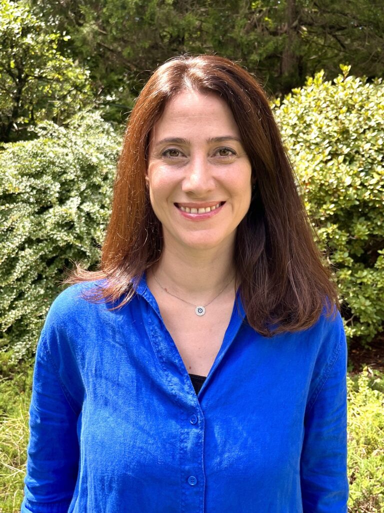
Seda Şalap-Ayça
Assistant Professor of Practice, Department of Earth, Environmental & Planetary Sciences
Brown University
Spatial composite indicators simplify complex, multi-dimensional data into concise performance metrics used in policy and decision-making. While useful for visualizing intricate systems, these indicators are inherently subjective, as their components are chosen by decision-makers. This project proposes enhancing spatial composite indicators using machine learning, specifically self-organizing maps, to reduce dimensionality and improve interpretability. Using Arctic development as a case study, the research integrates socioeconomic, environmental, and infrastructural data to reveal hidden patterns and interconnections. By identifying key factors driving vulnerability and resilience, this approach aims to create more transparent indicators, reducing subjectivity and supporting policy, disaster preparedness, and resource allocation.

Extracting location descriptions from disaster-related messages using geo-knowledge-guided GPT models
Yingjie Hu
Associate Professor, Department of Geography
University at Buffalo
During natural disasters, people share urgent information on social media and chat groups, often including critical location descriptions. Accurately extracting these location descriptions can help responders reach victims faster. Traditional named entity recognition (NER) struggles with complex location descriptions, but recent geo-knowledge-guided GPT models have shown promise. This I-GUIDE Community Champion project contributes to the Spatial AI Challenge by providing a refined dataset of 1,000 Hurricane Harvey tweets with labeled location descriptions. A Jupyter Notebook with example code for processing the dataset and integrating geo-knowledge with OpenAI's GPT API will be included. Researchers can use this resource to refine prompts, improve location extraction methods, or experiment with open-source LLMs.

Digital Twin Framework with Spatiotemporal Vision Transformers for Heat Resilience
Xinyue Ye
Professor, College of Architecture and College of Engineering
Texas A&M University
Extreme heat events, intensified by climate change, threaten human health and urban sustainability. This study introduces an integrated dataset and hybrid modeling framework to enhance spatial AI applications for human thermal comfort and heat resilience. Using the Texas A&M University campus as a testbed, it combines high-resolution 3D urban models, meteorological data, and physics-based simulations of the Universal Thermal Climate Index (UTCI) at a 1-meter resolution. The Spatiotemporal Vision Transformer (ST-ViT) model integrates multimodal inputs to provide real-time heat stress predictions while maintaining atmospheric dynamics. Implemented in an interactive digital twin platform, this approach supports applications like dynamic heat mapping, route optimization, and mitigation planning, offering a scalable framework for urban climate resilience.

GeoAI-enhanced community detection on spatial networks using graph neural embeddings
Song Gao
Associate Professor, Department of Geography
University of Wisconsin – Madison
This project develops GeoAI-enhanced unsupervised community detection methods, called region2vec, to improve the analysis of spatial networks by incorporating both edge-based interactions and node attributes. Traditional community detection methods in network science primarily focus on structural connectivity without considering node attributes. To address this limitation, region2vec leverages graph neural networks (GNNs) to generate node embeddings—multidimensional vector representations of a network—based on attribute similarity, geographic adjacency, and spatial interactions. These embeddings are then clustered using agglomerative clustering to extract meaningful spatial network communities. The proposed GeoAI-based region2vec methods are particularly effective when the goal is to simultaneously maximize node attribute similarity and spatial interaction intensity in the regionalization process. The spatial AI models developed in this project will be hosted on the I-GUIDE platform, enabling applications in health service area delineation, ecological zoning, transportation planning, political redistricting, and other regionalization challenges across disciplines.