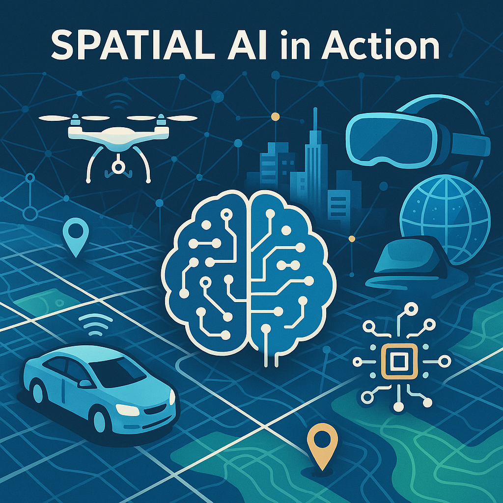
“Spatial AI in Action” — This illustration captures the integration of artificial intelligence with geospatial technologies, highlighting key applications such as autonomous navigation, drone surveillance, and augmented reality. The central AI brain and network of connected icons symbolize how spatial data and intelligent systems come together to solve real-world challenges.
Artificial intelligence (AI) is having its moment and spatial AI is right there at its heels. The terms “Spatial AI” and its geospatial counterpart, “GeoAI,” have gained increasing attention for the past few years. However, the core principles of utilizing location and spatial relations have been employed in computation and data analytics by a variety of fields for decades. Broadly speaking, spatial AI involves the development and use of AI to analyze location-based information, recognize spatial patterns, and make decisions in real-world or virtual spaces by leveraging spatial data and inference. The types of problems that are best addressed by spatial AI include, but are not limited to, augmented reality, autonomous navigation, environmental monitoring, robotics, and urban planning. By integrating AI technologies with spatial data and models, we can advance geographic information science and systems (GIS), machine learning, computer vision, and other AI techniques to process, analyze, and synthesize data that has a geographic or spatial component—such as cartographic maps, satellite images, and location-based data. Being able to reliably access and integrate massive amounts of spatial data into various applications now fuels the development of spatial AI models and algorithms, especially, for example, when prediction is involved.
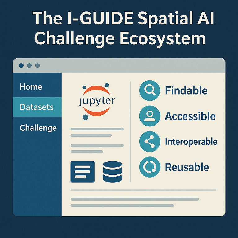
In October 2024, I-GUIDE launched its inaugural Spatial AI Challenge to develop innovative, responsible, and reproducible solutions focused on real-world issues such as disaster response, urban planning, or food and water security. By design, the I-GUIDE Platform provides advanced cyberinfrastructure and cyberGIS to support the development and sharing of the solutions with a focus on fostering FAIR (Findable, Accessible, Interoperable, and Reusable) data principles and open science materials (e.g., code, notebooks, and data). As Michael Goodchild, UC Santa Barbara professor emeritus, notes, “Spatial AI has emerged very rapidly, and there has been little opportunity to develop or share the appropriate infrastructure. As a result researchers often find it very hard to get started in Spatial AI, and to exploit its opportunities. That’s why the I-GUIDE Platform is so valuable. It gives everyone access to the basic necessities of Spatial AI, including data, templates, and examples of successful applications, in an ethical and scientifically reproducible framework that is being constantly expanded and maintained as the field develops.”
 The 2024-25 Spatial AI Challenge is now underway with nine different projects selected to participate. These range from the enhancement of computer vision systems to extract useful metadata from digital cartographic images, to the development of an AI-ready dataset to identify and assess the risks of wildfires to transportation infrastructure, and to the use of large language models (LLMs) for impact assessments with street-view imagery. More information on all nine projects is available on the Spatial AI Challenge webpage.
The Challenge continues into spring 2025. By the end of March, all teams will have their preliminary results up and running on the I-GUIDE Platform, after which they can review the content from the other teams and make improvements or modifications to their own content, if they choose. Once all finalized materials are uploaded by mid-April, a panel of experts from academia, industry, and government will review the submissions and select winners. The evaluation criteria focus on factors including 1) the content (e.g., how AI-ready are the datasets, how well-structured, effective, and innovative are the Jupyter notebooks, etc.), 2) the adherence to FAIR data principles and responsible and open science practices; and 3) the impact and applicability to real-world geospatial solutions. The highest ranked teams, announced in mid-May, will earn awards and have the opportunity to attend the I-GUIDE Forum 2025.
In addition to the support provided for the teams engaged directly in the Spatial AI Challenge, I-GUIDE is also promoting the work of the broader community in this field. Through its partnership with the University Consortium for Geographic Information Science (UCGIS), I-GUIDE annually runs a Community Champion program for strategic outreach with the GIS community in higher education. This year the four Community Champions, selected from UCGIS member institutions, will each be sharing some of their own previously designed and developed Spatial AI materials on the I-GUIDE Platform. The data and models, accessed via Jupyter notebooks, will themselves serve as exemplary materials for the Challenge participants to review and learn from. Moreover, the four Community Champions are sharing their collective expertise through I-GUIDE’s Virtual Consulting Office (VCO) program and also making themselves available to guide and mentor the Challenge participants during these weeks as development efforts peak.
Keep an eye on the I-GUIDE website for updates and announcements about the Spatial AI Challenge, supported by the I-GUIDE Platform. The continued development and release of new capabilities and features on the Platform will empower the most exciting advances in spatial AI for addressing many important scientific and real-world problems.
Image Credits: All infographic and illustration visuals in this article were generated using AI tools (OpenAI’s DALL·E and Google’s Gemini) based on descriptions provided by the author. Images are intended for conceptual and educational purposes.