|
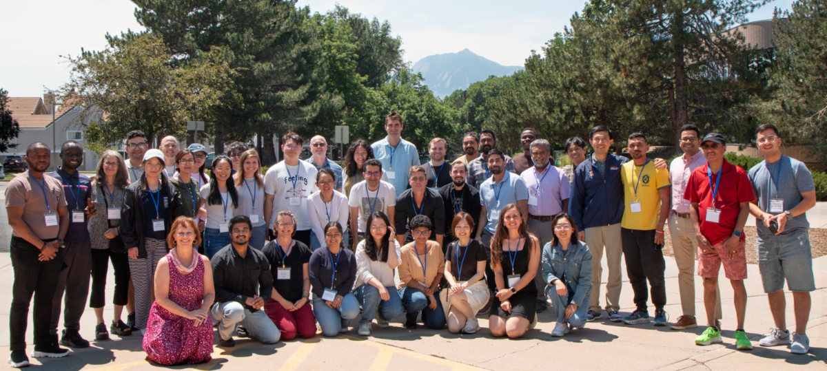
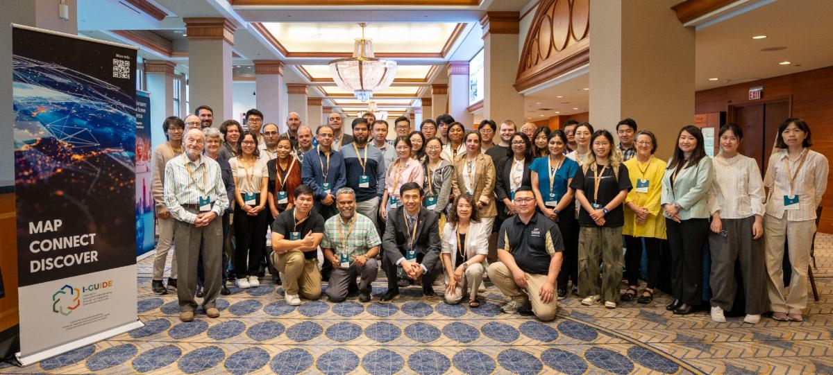
In early August 2025, the I-GUIDE community held its third annual Summer School, focusing on the theme of Spatial AI for Extreme Events and Disaster Resilience. Hosted at the UCAR Center Green facility in Boulder, Colorado, the week-long event brought together 26 doctoral students from 23 different academic institutions across the United States. Hard work dedicated to Team Science characterizes the week, along with fun too. In the end, one Team is recognized for their extra efforts and this year, that honor goes to...
|
|
|
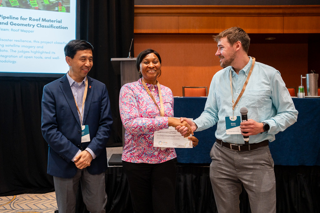
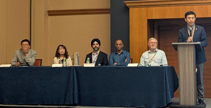
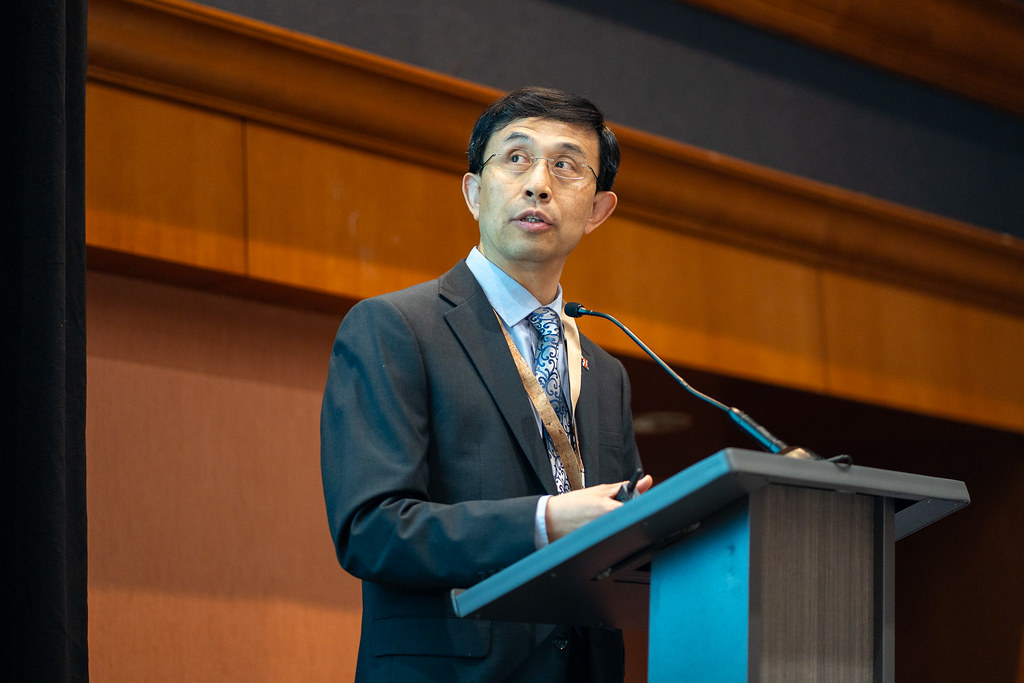
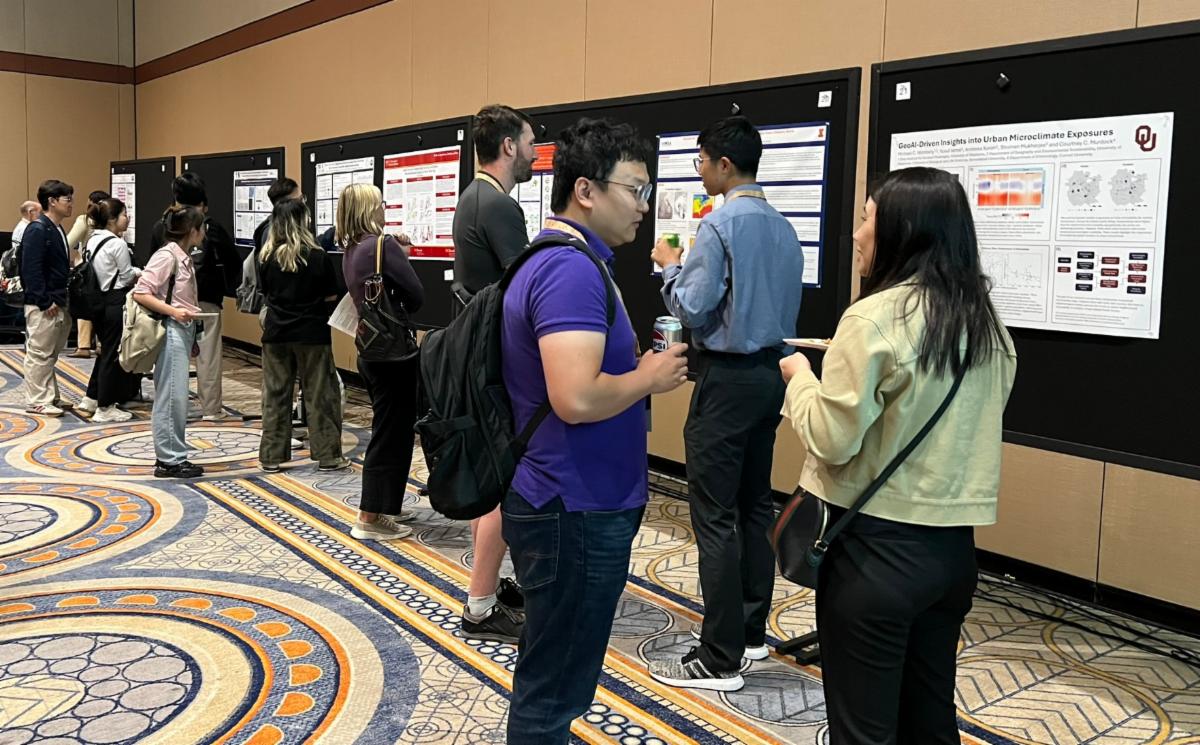
The June 2025 I-GUIDE Forum—Geospatial AI and Innovation for Sustainability Solutions—featured a vibrant lineup of presentations, panels, and posters that spotlighted cutting-edge advancements in GeoAI, cyberinfrastructure, and convergence and geospatial sciences. Co-location with the Sustainability Research & Innovation Congress was a unique opportunity to take advantage of the momentum, energy, and synergies of a large community gathering to work on solutions to our most significant sustainability challenges.
The top poster recognition went to doctoral student Hodo Orok from the Department of Climate, Meteorology & Atmospheric Sciences at University of Illinois Urbana-Champaign. Congratulations, Hodo! Understanding how atmospheric patterns are associated with dam overtopping in the Eastern US is the focus of her research.
|
|
|
|
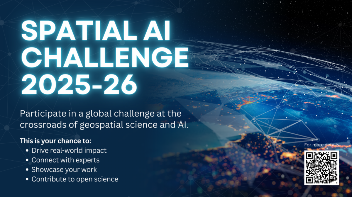
The 2025–26 Spatial AI Challenge is now open! Participants are encouraged to develop projects that showcase innovative solutions as they use the I-GUIDE Platform to demonstrate the effective use of geospatial data. Find more information and program details here.
|
|
Stay Informed with the I-GUIDE Insider
An easy way to stay in touch with the NSF I-GUIDE Project
|
|
|
The I-GUIDE Insider is a weekly digest of upcoming events and opportunities from the I-GUIDE project as well as recent publications and news. Sign up for the Insider to stay up to date with the I-GUIDE project!
|
|
|
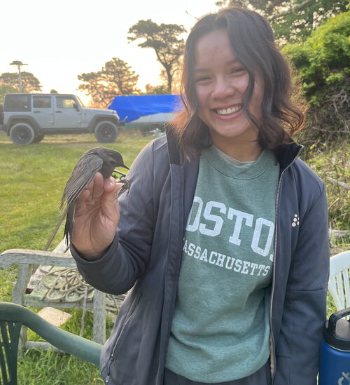
Caylee Chan, a Master’s student in the Program in Ecology, Evolution, and Conservation Biology at the University of Illinois Urbana-Champaign, contributes to I-GUIDE in the area of Extreme Events & Disaster Resilience. We share an interview with Caylee to learn more about her work with the changing disease vectors of mosquitos and ticks. Read the full interview here!
|
|
|
I-GUIDE VCO
Wednesday, September 24 · 11:00 am CT · Virtual
Presenters
Shaun Williams, Carey Whitehair-Conde, and Jeremiah Huggins ·
CNA Corporation
For the 2024-25 I-GUIDE Spatial AI Challenge, our team built a lightweight U-Net model that maps wildfire threats along roads and railways — infrastructure often left out of wildfire risk modeling. We combined CAL FIRE threat zones, Sentinel-2 imagery, and transportation GIS data, to create a fast, spatially aware model that generates pixel-level wildfire risk maps, ready for real world use in areas like planning and disaster response. This VCO spotlights how spatial AI can move wildfire risk modeling beyond forests and homes to focus on critical infrastructure. We’ll walk through our labeling workflow, model development, and GIS integration to show how this approach enables scalable, real-world decision support.
|
|
I-GUIDE VCO
Wednesday, October 8 · 11:00 am CT · Virtual
Presenters
Qian Cao & Nemin Wu · University of Georgia
We have been developing a Python Package called TorchSpatial, a comprehensive framework and benchmark suite designed to advance spatial representation learning (SRL). It includes a unified location encoding framework that supports location encoding model development and the LocBench benchmark tasks that support location encoding model evaluation. Additionally, TorchSpatial introduces the Geo-Bias Score, a novel metric to evaluate model performance and geographic bias, promoting spatial fairness in GeoAI applications. In this talk, we will explain and demonstrate how we further developed TorchSpatial during I-GUIDE's 2024-25 Spatial AI Challenge.
|
|
I-GUIDE VCO
Wednesday, October 15 · 11:00 am CT · Virtual
Presenter
Gerald Fenoy · GeoLabs
This presentation highlights integrating OGC Testbed-19/20 High-Performance Geospatial Computing with Toil WES and EOEPCA’s ZOO-Project-DRU. We demonstrate scalable, OGC-compliant workflows—including I-GUIDE’s inundation processor—deployed on HPC systems using CWL, enhancing geospatial analysis portability, reproducibility, and efficiency across platforms, while adhering to open geospatial standards for Earth observation data processing.
|
I-GUIDE VCO
Wednesday, November 12 · 1:00 pm CT · Virtual
Presenters
Julian Huang · University of Chicago
Yue Lin · University of Illinois Urbana-Champaign
This session explores leveraging OpenStreetMap and OpenAerialMap for geospatial machine learning. We’ll share our I-GUIDE Spatial AI Challenge pipeline, which transforms open data into training inputs for classifying building roof materials and shapes. We also discuss limitations, opportunities, and applications in energy, urban climate, and disaster resilience planning.
|
|
|
Recent research and publications
from the NSF I-GUIDE Project Team
|
|
|
This report summarizes survey results from Utah municipalities on water management practices. Topics include inter-agency collaboration, perceived risks, challenges, priorities, planning timeframes, governance representation, and views on the Great Salt Lake. The goal is to provide high-level insights for stakeholders interested in improving municipal water resource management across Utah.
|
|
|
|
|