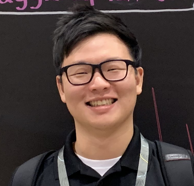
Jinwoo Park, a postdoc at the CyberGIS Center
Jinwoo Park, a postdoc at the CyberGIS Center, shares his thoughts with I-GUIDE. Shortly he’ll wrap up his work in Illinois and begin a new faculty position at the University of North Dakota!
What is your position and where?
I am a postdoctoral research associate at the CyberGIS Center for Advanced Digital Spatial Studies at the University of Illinois Urbana-Champaign.
Did you start out your academic career in this direction?
I started my academic career path when I began my current position as a postdoctoral researcher. Throughout my academic journey, from my bachelor’s to my doctoral degree, I have received training as a geographer/GIScientist. My general research interests lie within three key areas:
- Modeling and simulating dynamic phenomena of urban environments, such as transportation, within the digital realm.
- Investigating the relationships between spatiotemporal disparities in accessibility to various infrastructures (e.g., hospitals) and the socioeconomic characteristics of different regions.
- Providing decision-making support to alleviate these disparities by facilitating the allocation of additional resources.
What inspires you?
I am inspired by the current data-rich environment of geospatial information, and how this domain has rapidly grown and evolved.
Did you have a Plan B?
I thought about transitioning to an industry position after completing my Ph.D.. However, I was attracted by the beauty of academia, where cutting-edge technology is harnessed for social good, particularly by addressing issues of societal fragmentation, such as inequality and inequity. I believe that pursuing these objectives would be more challenging within an industry role.
What do you think is most exciting about your field of study?
I am excited about the potential of my research to positively impact people’s lives. Specifically, I am focused on identifying locations that experience relative disadvantages within the current urban context and understanding the underlying reasons behind these disparities. My ultimate goal is to apply my research findings to inform decision-making processes for stakeholders. By doing so, I aim to contribute to addressing spatial inequality such as by guiding the allocation of additional infrastructure to the areas that need it the most.
What has surprised you so far? (Scientifically or academically)
I have been surprised by the ongoing digital revolution, where geospatial information is rapidly transitioning into the digital realm. A couple of decades ago, when the concept of ubiquitous computing was introduced in geography, I was concerned about its achievability in the near future. However, the increasing availability of geospatial data, coupled with the advancements in geoAI, has convinced me that digital twins and smart cities are feasible goals.
How do you see your role in I-GUIDE?
I have two roles within I-GUIDE. First, through collaboration with leading scholars in geography, civil engineering, and environmental science, I have conducted research on the socioeconomic characteristics of at-risk populations affected by aging dam infrastructure in the USA. Second, I have led the I-GUIDE Climbers, a group of graduate students, postdocs, and staff. In this role, I have worked to establish connections among Climbers engaged in cutting-edge research across various disciplines. In short, my contribution has acted as a catalyst for fostering interdisciplinary studies and activities.
What would you like to be when you grow up?
I have always wanted to be a researcher. As I will soon start my next academic chapter as a faculty member at the University of North Dakota, I think I am one step closer to my dream.