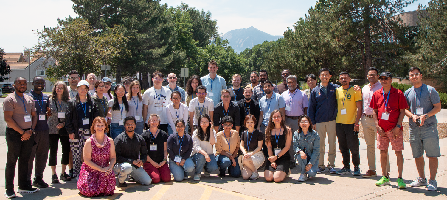
In early August 2025, the I-GUIDE (Institute for Geospatial Understanding through an Integrated Discovery Environment) community held its third annual Summer School, focusing on the theme of Spatial AI for Extreme Events and Disaster Resilience. Hosted at the UCAR Center Green facility in Boulder, Colorado, the week-long event brought together 26 doctoral students from 23 different academic institutions across the United States.
The students were organized into five teams, each led by subject-matter experts. Their mission was to develop computational solutions to critical problems using Spatial AI. The final products for each team were one or more Jupyter notebooks containing code, models, and data, which are now hosted on the I-GUIDE Platform to promote open access for spatial computing.
Throughout the week, participants embraced the authentic nature of convergence science. Team leads provided guidance, but students also navigated the “pivot points” and technology hiccups inherent in real-world research. This hands-on experience in problem-solving and collaboration was a key component of the program.
The teams’ final submissions were evaluated based on several criteria: the quality of the problem presentation, content organization, and the usability and “AI-readiness” of their notebooks and datasets. Additionally, teams were required to generate data and model cards from the I-GUIDE Data Ethics Toolkit, which were also factored into the final assessment.
The team led by Dr. Manzhu Zu, Associate Professor of Geography and Director of the Geoinformatics and Earth Observation Laboratory at Penn State University, ranked most highly
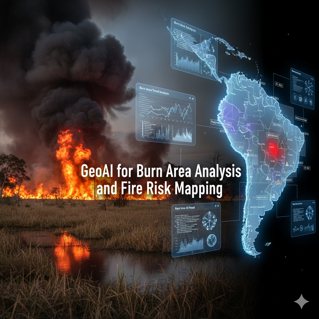
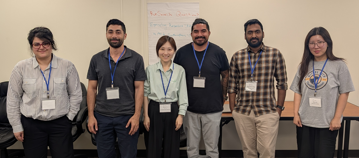
In the end, the team led by Dr. Manzhu Zu, Associate Professor of Geography and Director of the Geoinformatics and Earth Observation Laboratory at Penn State University, ranked most highly. Her project, GeoAI for Burn Area Analysis and Fire Risk Mapping in the Pantanal Wetlands, was developed by five students: Bikas Gupta (University of Texas at Arlington), Daniel Dominguez (Colorado State University), Esmaeel Adrah (Kent University), Fatemeh Kordi (Clark University), and Jiyeon Kim (University at Buffalo). The group receives I-GUIDE’s highest kudos for reaching this level of acclaim. As one evaluator stated, “It was exciting to see results that showed this level of achievement after only a few days of work.”
The work from all teams will be shared with a wider audience through the I-GUIDE’s Virtual Consulting Office program, scheduled for the fall of 2025 and winter of 2026. This initiative will continue to promote the use of Spatial AI in addressing complex environmental and societal challenges.