Physics-Informed GeoAI for Estimating Irrigation Volume from Earth Observations
September 2, 2026 11:00 am (Central Time)
Recorded VCO
Abstract
** I-GUIDE Spatial AI Challenge 2025-26 -- Honorable Mention **
Quantifying irrigation withdrawals is essential for sustainable water management, yet information on irrigation volume remains scarce in most of the global agricultural regions. While process-based models offer physical consistency, they often struggle to ingest high-dimensional datasets. Conversely, data- driven Geospatial Artificial Intelligence (Geo-AI), including foundation models provide high predictive power but often requires extensive training data and lacks the physical grounding necessary for scientific inference. This study introduces a novel Physics-Informed Geo-AI framework that integrates satellite embeddings with fundamental hydrological constraints within an inverse soil moisture model (inverse-SM2RAIN) to estimate volumetric irrigation water use. We hypothesize that satellite embeddings can effectively encode information about soil hydraulic properties, such as soil texture and saturated hydraulic conductivity, which typically require numerical calibration. Hence, we utilized a TabNet model and Alpha Earth satellite embeddings as predictive variables to calibrate the parameters of the inverse-SM2RAIN model. The hydrological constraints were informed by SMAP soil moisture, ensemble monthly OpenET, and precipitation data. We tested our approach in California’s Central Valley, a region defined by intensive cultivation and intricate water rights, and compared our results to crop irrigation withdrawals obtained from the USGS National Water-Use Model over three years (2018-2020). Our approach successfully integrated multi-modal data, achieving a Nash-Sutcliffe Efficiency (NSE) of 0.68 and a Mean Absolute Error (MAE) of 31.27 Million Gallon per Day (MGD) when compared against USGS-reported withdrawals at individual Hydrologic Unit Code (HUC12) watershed scale and a median MAE of 24.21 MGD when compared for aggregated regional trends within California’s Central Valley. The approach significantly improves predictive accuracy and reduces overestimation compared to standalone physical models. This study paves the way for an interpretable, scalable tool for water managers to monitor irrigation withdrawals, refine water budgets, and develop resilience and adaptation strategies. Follow up work will include scaling up the model to the contiguous United States to produce irrigation records for 2020-2025.
Speakers
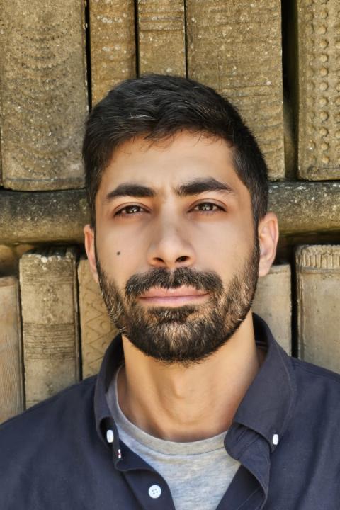
Esmaeel Adrah
Kent State University
Esmaeel Adrah is a geospatial and remote sensing researcher and a Ph. D. candidate at Kent State University. His research focuses on developing geospatial frameworks that combine Earth Observations (EO) and geospatial AI (GeoAI) for agriculture resilience, water management, and disaster preparedness.
Specifically, his work investigates the dynamics of long-term irrigation, crop loss from disasters, and water-climate-conflict in transboundary basins. More broadly, he aims to integrate EO physical indicators with causal and socio-economic analysis, linking environmental changes to human decisions to support evidence-based management and disaster response. He holds an M.Sc. in Geospatial Analysis and a B.Sc. in Civil/Geotechnical Engineering, an academic path informed by practical experience prior to his doctoral studies, drawing on supporting the work of international organizations including UN-Habitat and the UN Volunteering Program on multidisciplinary projects across the Middle East, the southwestern Pacific, and South Asia.
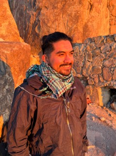
Daniel Dominguez
Colorado State University
Daniel Dominguez is a watershed scientist and Ph.D. candidate at Colorado State University. His research focuses on developing artificial intelligence and geospatial modeling approaches to better understand and predict hydrologic and water-quality processes across large spatial scales.
Specifically, his work investigates the use of deep learning, graph neural networks, remote sensing, and knowledge-guided machine learning to model streamflow, water temperature, dissolved organic carbon, and other indicators of aquatic ecosystem condition. More broadly, he aims to develop interpretable and transferable AI frameworks that combine Earth observations, environmental monitoring, and hydrologic knowledge to improve water-resource prediction and support decision-making across watersheds.
He holds an M.Sc. in Sustainable Water Environments from the University of Glasgow, an M.Sc. in Computing from Cardiff University, and a B.S. in Watershed Science from Colorado State University. His academic path is informed by interdisciplinary experience spanning water resources, computing, remote sensing, and environmental science, as well as his prior service in the United States Marine Corps. He is an NSF Graduate Research Fellow, Marshall Scholar, and Tillman Scholar.