Introduction to the GeoAI Foundation Model and Its Application
January 31, 2024 11:00 am (Central Time)
Recorded VCO
Abstract
This VCO presents work completed by Team 6 (GeoAwesome) project, which explored the geospatial artificial intelligence (GeoAI) foundation model and its applications during the I-GUIDE Summer School 2023. NASA and IBM have introduced a cutting-edge GeoAI Foundation Model called Prithvi-100M, which leverages satellite imagery data to provide insights into various geographical applications. This VCO introduces this novel foundation model with examples, such as crop classification, flooding, and burn scar detection. We also demonstrated how to fine-tune the model. More specifically, we enhance this model with the Normalized Difference Built-Up Index (NDBI) by employing Otsu's method to determine an optimal threshold for binary mask generation. This is an important task for urban planning and development analysis.
This VCO is part of a series showcasing work completed by participants at the I-GUIDE 2023 Summer School, Convergence Science in Action held in Boulder, CO in August 2023. As part of the program, 35 graduate students, postdocs, and early career scholars collaborated with I-GUIDE project members to develop novel solutions to complex problems that rely on computation- or data-intensive geospatial data science.
Speakers

Yanhong Huang
University of New Mexico
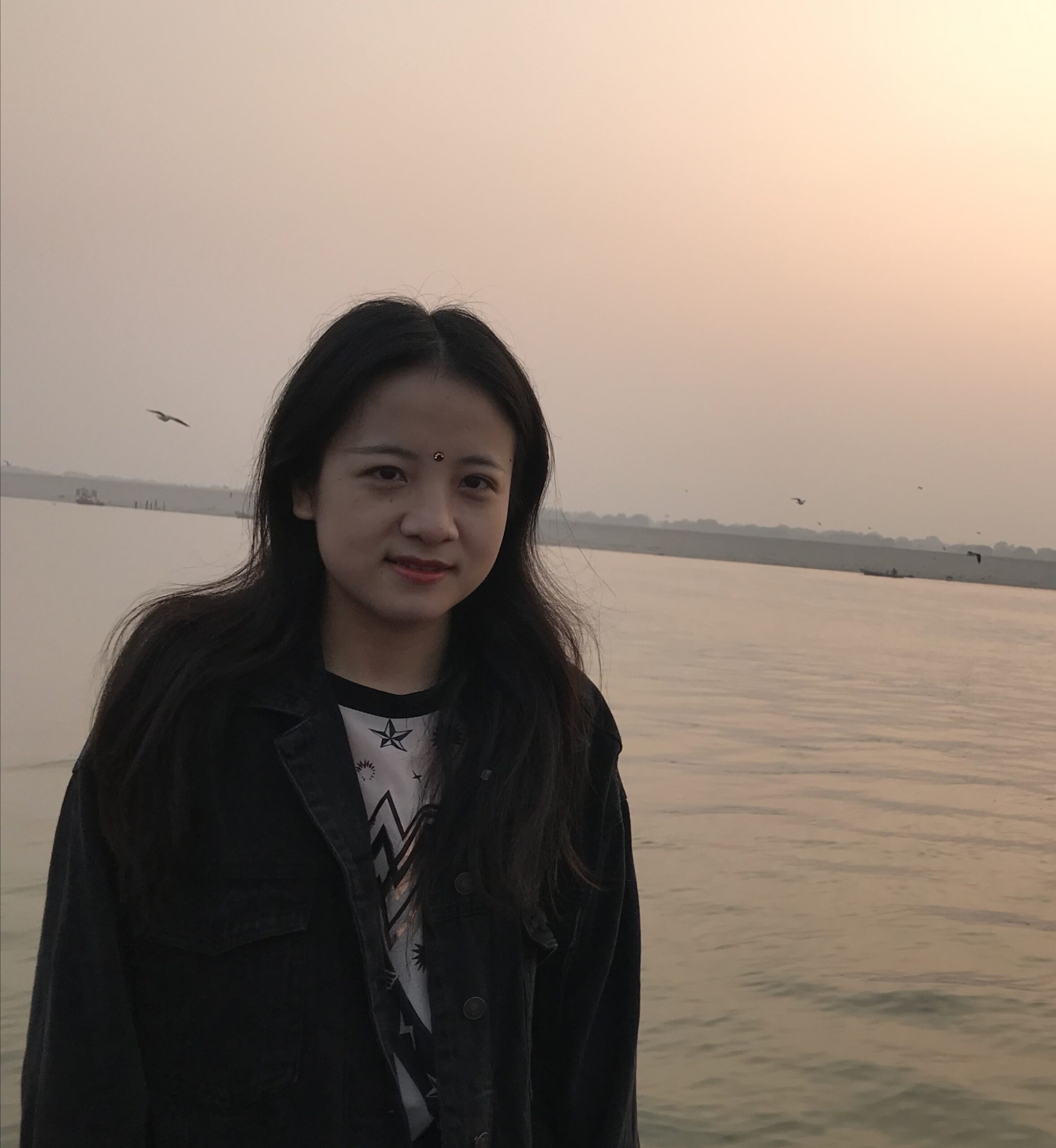
Yanhong Huang is a Ph.D. student in geography at the University of New Mexico. Her research interests are GIS, spatial analysis, remote sensing, and environmental health. Her work primarily focuses on using advanced GIS and remote sensing techniques to untangle complex environmental health issues, aiming to provide innovative solutions for sustainable and healthy community development.

Salar Jarhan
University of Wyoming
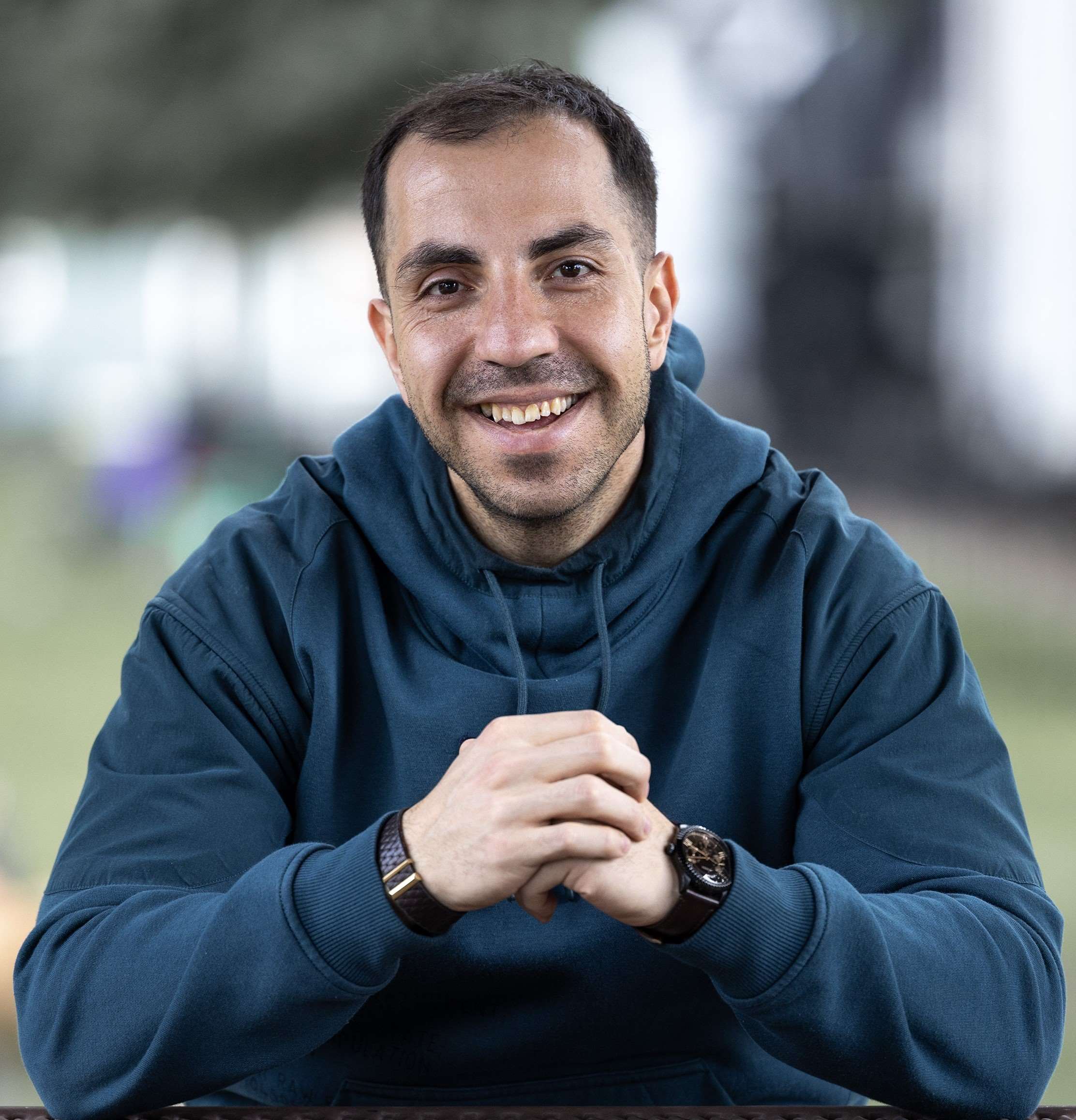
Salar joined the Department of Ecosystem Science and Management at the University of Wyoming in the fall of 2021. He received his B. Sc. from the University of Tabriz (Iran) and M. Sc. from TU Dresden (Germany), where he already worked on large-scale hydrologic modeling and calibration. In his current research, Salar works on modeling water resources in the Snowy Mountains by utilizing observational data at different levels, including ground-based and satellite. His research aims to improve current methods to monitor and model runoff generated by snowmelt in Wyoming’s mountain ranges. For recreation, Salar enjoys hiking, working out, and learning new languages.

Jiyoung Lee
Louisiana State University
Jiyoung Lee is a Ph.D. candidate from the Department of Geography and Anthropology at Louisiana State University. She received her B.A. and M.A. in Geography from Sungshin Women’s University, Seoul, Republic of Korea, and earned an M.S. in Computer Science from Louisiana State University. Her research focuses on enhancing urban resilience through innovative geospatial analysis, geoAI, and remote sensing techniques. She specializes in two critical areas: crime prevention and flood mitigation. Please visit her website to get more detailed information: jiyoungeo.com

Claire Simpson
University of Colorado Boulder
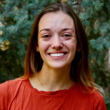
Claire Simpson is a 2nd-year master’s student in the Geography Department at the University of Colorado - Boulder and a National Science Foundation Graduate Research Fellow. She holds a B.A. in geography/environmental studies from the University of California - Los Angeles. Her past work includes remote sensing and spatial modeling studies related to Arctic lake depth, soil resilience, and vegetation disturbance. Intersecting computer science, remote sensing, and ecology, her current research leverages deep learning to forecast and analyze spatio-temporal vegetation recovery patterns after fires.

Yalin Yang
University of Texas at Dallas
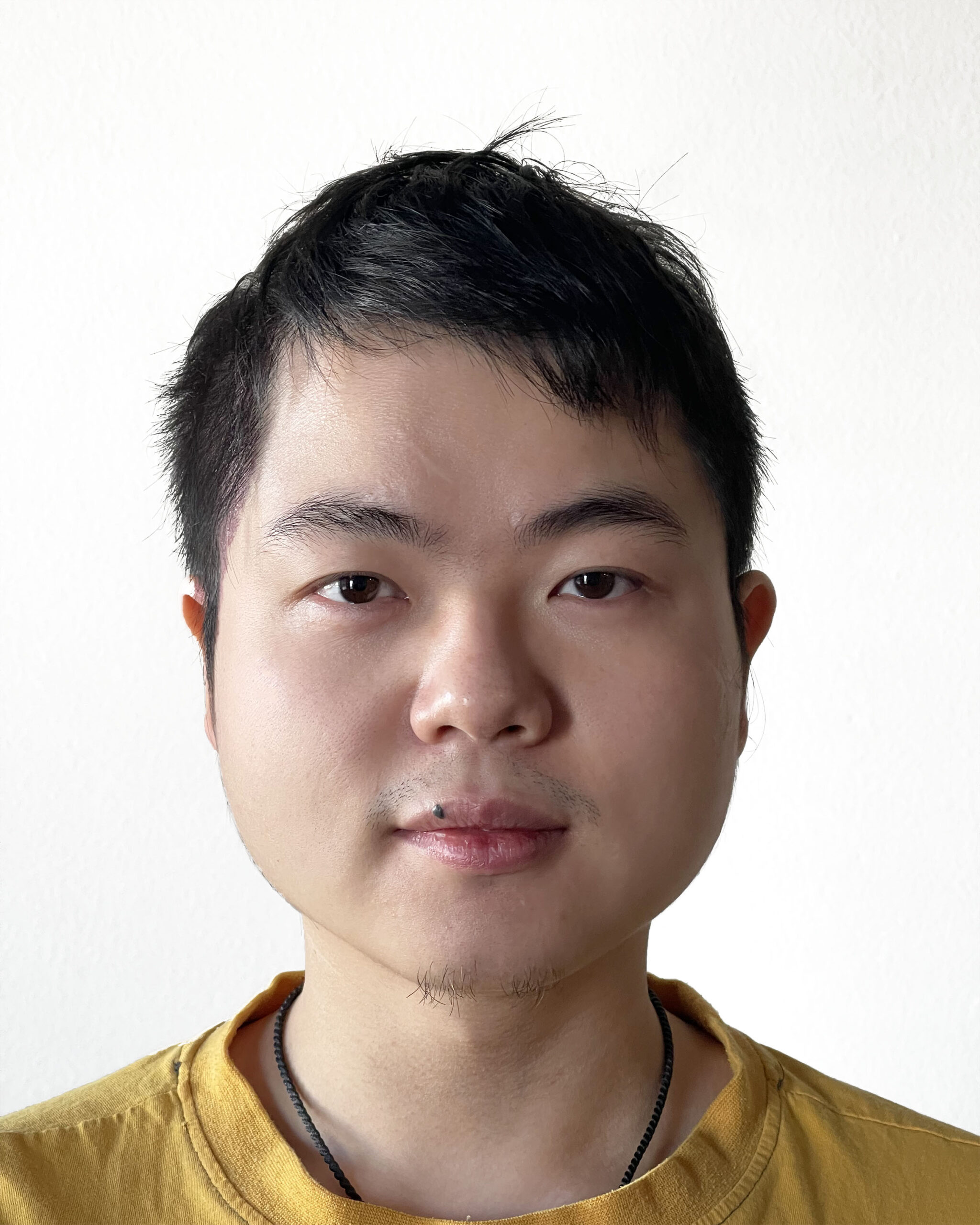
Yalin Yang is a Ph.D. Candidate at the University of Texas at Dallas, specializing in Geospatial Information Sciences. With expertise in Geographic Information Science (GIS), Urban Environment, and Human Networks Modeling, Yalin's work encompasses big geospatial data analytics, machine learning, and cloud computing applications in urban and social studies. For more detailed information, please visit Yalin Yang's website here.