GeoAI Applications to Predict Field Scale Actual Evapotranspiration
October 23, 2024 11:00 am (Central Time)
Recorded VCO
Abstract
In water-scarce regions, effective agricultural water management hinges on accurate evapotranspiration (ETa) estimation. Traditional methods and satellite products often fall short due to spatial biases and limited ground representation. In this talk, we will present our efforts to develop a data-driven model that leverages machine learning techniques to predict daily reference evapotranspiration at a finer spatial resolution. This approach aims to optimize water use in semi-arid regions, ensuring sustainable crop production. Join us for a detailed exploration of the model development process, its applications, and implications for agricultural water management.
Speakers
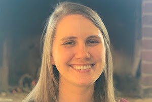
Laurel DiSera
Columbia University
Laurel is interested in understanding how climate impacts society, especially in Latin America. As a Climate and Society scientist, Laurel desires to learn more about the impacts of different climate phenomena occurring at different timescales, also known as cross-timescale interference, and how these impacts affect livelihoods at a local level. Laurel conducts her research at the International Research Institute for Climate and Society, part of the Climate School at Columbia. In her previous work during her Master's and at the IRI, Laurel spent time in Guatemala working to increase climate knowledge throughout the country, specifically with locals in rural regions. Additionally, Laurel has focused on how Aedes-borne diseases in the Americas and worldwide are impacted by climate and how improving the skill of Subseasonal to Seasonal (S2S) forecasts can be used by decision makers to improve the livelihoods of their constituents.
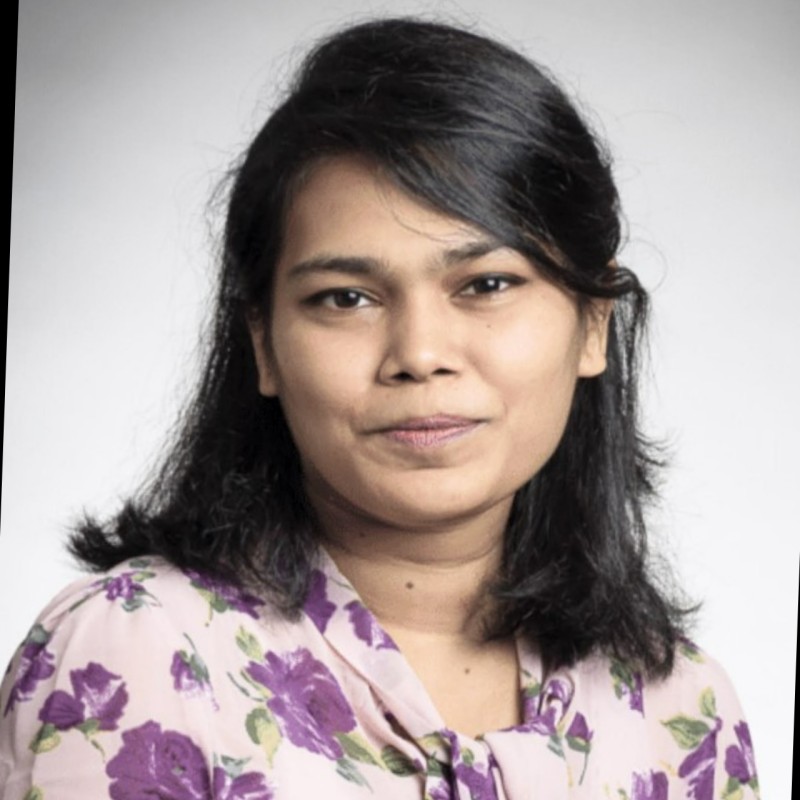
Eshita Eva
The Ohio State University
Eshita Eva is a PhD candidate in Geography at The Ohio State University. She is a Presidential fellow and member of the Byrd Polar and Climate Research Center. Her research interests focus on land-atmospheric interaction, climate data analytics, and AI techniques. Her current research is on developing high-resolution soil moisture maps using in situ, satellite, and model-derived data in the contiguous United States. In addition, she is interested in remote sensing, GIS, and drought modeling. She leverages climate and water-balance parameter predictions by developing data-driven models and hydrological modeling.
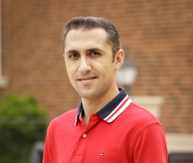
Ehsan Foroutan
Oklahoma State University
Ehsan Foroutan is a PhD student in geospatial science at the Department of Geography, Oklahoma State University. He holds a bachelor’s degree in surveying and geomatics engineering from the University of Isfahan, Iran, and a master’s degree in GIS from the University of Tehran, Iran. His doctoral research centers on applying geospatial big data analytics and GeoAI to population and environmental health. His current work focuses on leveraging multi-source geospatial data—such as satellite imagery, street view images, smartphone mobility, social media check-ins, and machine learning algorithms—to address heat vulnerability in the context of climate change. Ehsan is also interested in spatiotemporal and land use change modeling, remote sensing, and routing analysis.
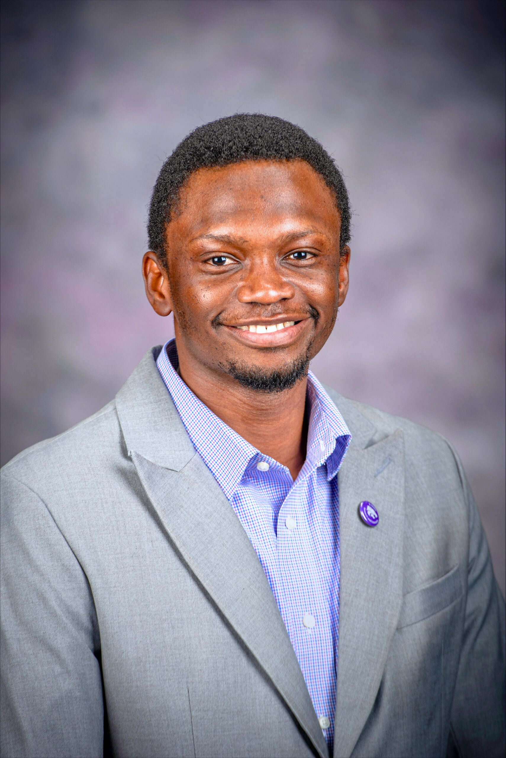
Kelechi Igwe
Kansas State University
Kelechi is a Ph.D. student with research interests in agriculturally relevant extreme climate events, and precision irrigation strategies for improved agricultural production and sustainable groundwater water management. He is currently applying machine-learning algorithms and decision support tools in combination with remote sensing technologies to study the impact of growing-season extreme climate conditions on crops, crop water demands and related hydrologic processes.

Manoj Lamichhane
South Dakota State University
Manoj Lamichhane is a PhD student in the Department of Agricultural and Biosystems Engineering at South Dakota State University. Dedicated to addressing key challenges in agricultural water management at the field scale, his research focuses on evapotranspiration, soil moisture, and crop yield. He employs machine learning and distributed hydrological models at the watershed scale to develop solutions for agricultural water management, especially in semi-arid regions. Manoj is passionate about integrating remote sensing data with ground observations to enhance precision agricultural management. He holds a master's degree in Water Resources Engineering, where he concentrated on the impact of climate change on crop water requirements.
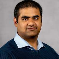
Sushant Mehan
South Dakota State University
Dr. Sushant Mehan is an Assistant Professor and Water Resource Engineer Specialist at South Dakota State University, specializing in agricultural engineering and hydroinformatics. His research focuses on improving water management in agricultural systems, particularly in water-scarce regions. Dr. Mehan leverages advanced computer modeling, machine learning, and remote sensing techniques to simulate and predict the movement of water and nutrients in agricultural landscapes. His current work involves developing data-driven models to enhance evapotranspiration estimation, aiming to optimize water use in semi-arid regions and improve crop yields. Dr. Mehan's contributions are critical to advancing sustainable agricultural practices.
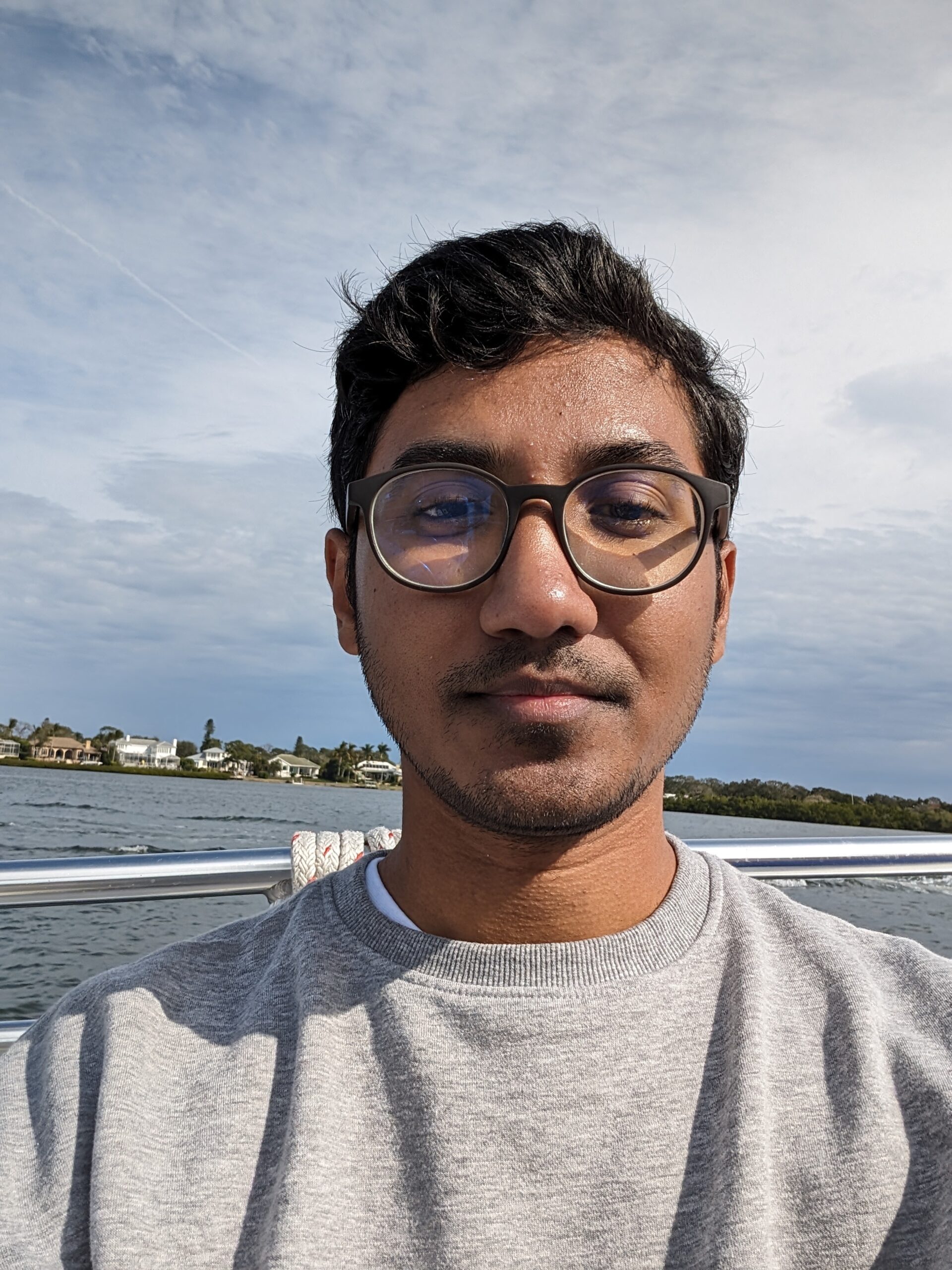
Musab Waqar
Virginia Tech
Musab is dedicated to understanding the impacts of water resources management and climate change on sustainable agriculture and energy systems. As a Civil and Environmental Engineer specializing in water resources, Musab leverages machine learning and geospatial analysis to address critical challenges in irrigation water use and groundwater sustainability. He is currently a Graduate Research Assistant at Virginia Tech's Marston Research Group, where he focuses on developing data-driven models to classify irrigation water sources, refine irrigation water use classifications, and integrate water rights data for improved decision-making. Musab’s research extends to the application of machine learning and deep learning techniques to improve water use efficiency and sustainable agriculture, with a focus on the Western U.S. His previous work includes developing energy security strategies and conducting climate risk assessments for major projects in Pakistan. Musab is passionate about applying advanced geospatial and predictive modeling techniques to improve water resource management in both local and global contexts.
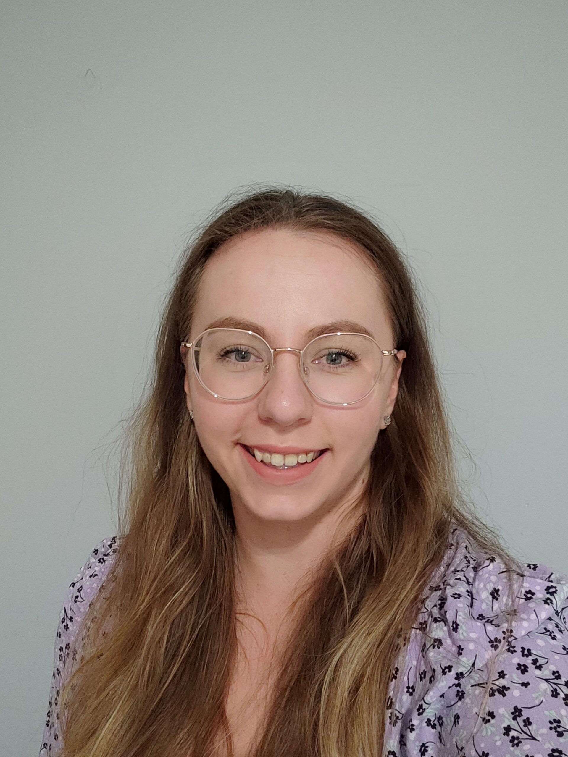
Ola Wasik
Kent State University
Aleksandra Wasik is a PhD student in Geography at Kent State University, where she is a member of the Remote Sensing and Land Science (SensLand) Lab. She has an engineering background in Geodesy and Cartography, specializing in remote sensing, photogrammetry, and GIS. Her research interests center around environmental monitoring and human-environment interactions, using remote sensing and GIS techniques. Specifically, she is interested in studying land use and land cover changes, their drivers, and their impacts. Currently, her research is concentrated on land abandonment, which results from various factors. She applies remote sensing images and Artificial Intelligence (AI) to analyze and better understand this phenomenon from multiple perspectives and scales. Additionally, Aleksandra is interested in applying GIS to developing smart and resilient cities, focusing on sustainable development and climate change resilience.