A look inside OldInsuranceMaps.net, a crowdsourcing platform for georeferencing historical fire insurance maps
July 16, 2025 11:00 am (Central Time)
Recorded VCO
Abstract
OldInsuranceMaps.net started as a master’s thesis project in 2022, but has continued to grow since then, becoming a well-used collaborative platform for georeferencing historical Sanborn fire insurance maps from the digital collection at the Library of Congress. OIM provides a comprehensive workflow for ingesting, splitting, georeferencing, and mosaicking entire atlases, creating geospatial raster datasets along the way that can be freely downloaded or accessed via a number of different web mapping service endpoints. To date, over 30,000 map pages have been georeferenced by various research teams and individuals across the US, covering (or partially covering) almost 375 different cities and towns. This talk will introduce the platform, go for a deep dive into details about how the open source software stack, data structure, and file storage management has evolved over time.
Speakers

Adam Cox
University of Illinois Urbana-Champaign
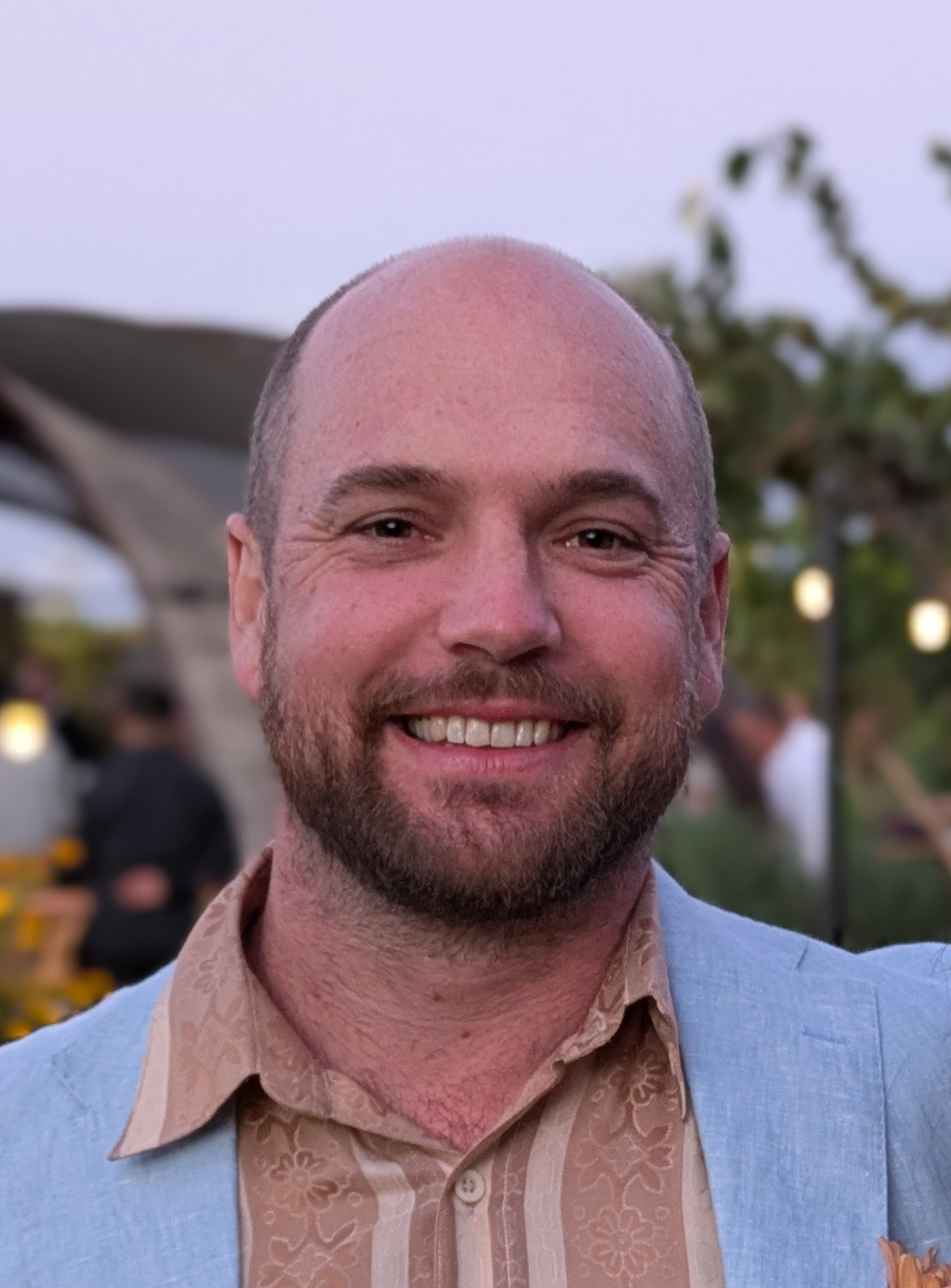
Adam is a senior research software engineer at Healthy Regions & Policies Lab, with a background in geospatial programming and GIS. He leads engineering and infrastructure development in the lab, primarily focusing on the SDOH & Place Project but also supporting projects like the US Covid Atlas, Chicago Environment Explorer and the Opioid Environment Policy Scan data ecosystem. His interest in historical maps, crowdsourcing, and open source software led to the creation of OldInsuranceMaps.net for his master’s program at Louisiana State University. Originally from Wisconsin, he lives in New Orleans, Louisiana with his wife and small cat.